
Residents against DBKL's development approval on 'high-risk' hill
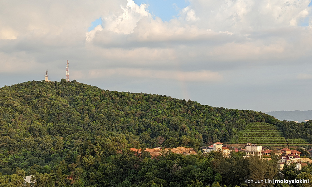
Kuala Lumpur City Hall’s (DBKL) recent approval for the development of two condominium blocks comprising 300 residential units on Bukit Dinding which it had declared to be at “high risk” of landslides in 2014 is receiving vehement objections from at least 6,000 residents living around the hill.
In 2014, DBKL launched the Kuala Lumpur Slope Information System (KuLSIS), and then mayor, Ahmad Phesal Talib pointed out Bukit Dinding as one of 1,740 slopes at “high risk” of landslides.
This was why residents living around the hill were...
Kuala Lumpur City Hall’s (DBKL) recent approval for the development of two condominium blocks comprising 300 residential units on Bukit Dinding which it had declared to be at “high risk” of landslides in 2014 is receiving vehement objections from at least 6,000 residents living around the hill.
In 2014, DBKL launched the Kuala Lumpur Slope Information System (KuLSIS), and then mayor, Ahmad Phesal Talib pointed out Bukit Dinding as one of 1,740 slopes at “high risk” of landslides.
This was why residents living around the hill were shocked to be left in the dark of the approval that they claim was based on an outdated 2017 Environmental Impact Assessment (EIA) report, while Setiawangsa MP Nik Nazmi Nik Ahmad said he has raised safety concerns even in Parliament.
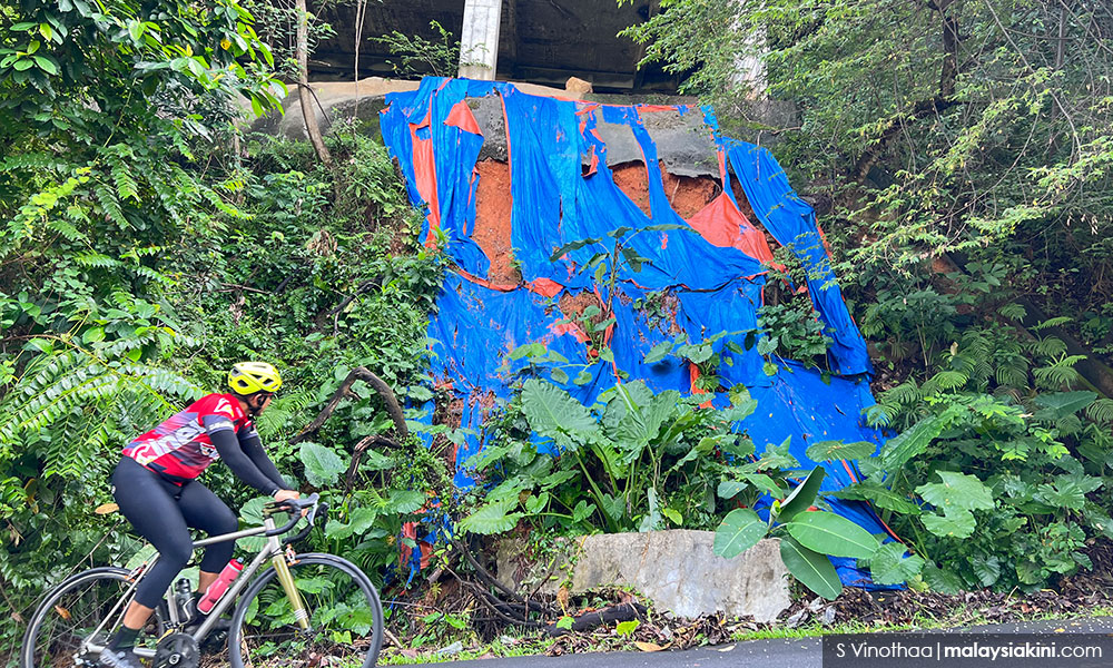
Zaliny Ghazali, a member of the Jalan Bukit Setiawangsa 7 Residents' Association and a legal adviser to a property development company, said he had been living there since 1998 where his three children grew up, and last December alone there were five hillslope failures on Bukit Dinding.
However, the developer who received DBKL approval this March, Nova Pesona Sdn Bhd, has not reverted to queries from Malaysiakini if KuLSIS was applied in its risk assessment for the construction of two high-rise buildings on a 2.4ha parcel.
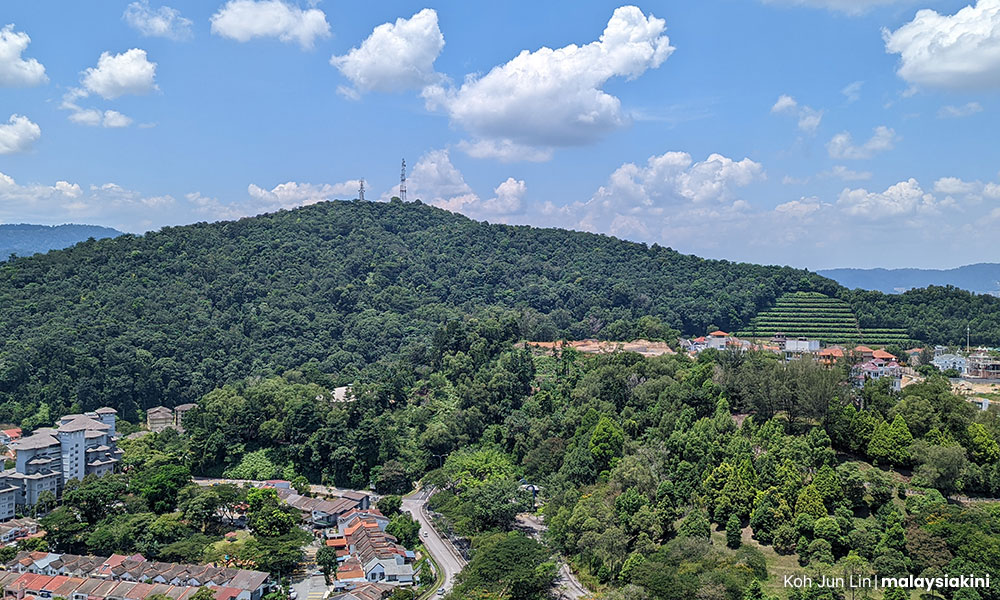
The existing Bukit Dinding green lung is privately owned and covers a 121ha area within Setiawangsa in Kuala Lumpur and borders Ampang Jaya in Selangor. The latest approval for the 2.4ha was less than 2 percent of the total intended development.
The 2017 EIA report indicates the 52ha area as parcel 2 (owned by Nova Pesona) in a master plan for the 121ha area that maps out high-density development across the hilltop which includes condominium blocks, townhouses, villas, and terrace houses.
The EIA report maps out the development in stages over a period of 25 years.
So far, DBKL has only approved the development of the 300 condominium units on the 52ha parcel.
Bukit Dinding could be in landslide zone
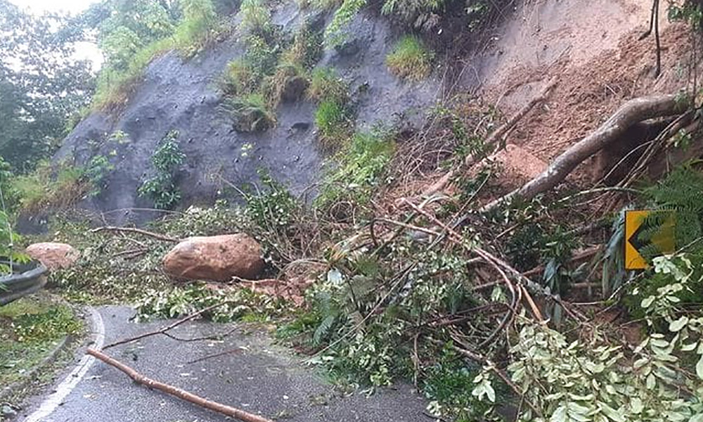
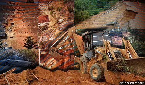
Images of a more serious landslide in 2011 and the thundering sound that it made still linger with residents.
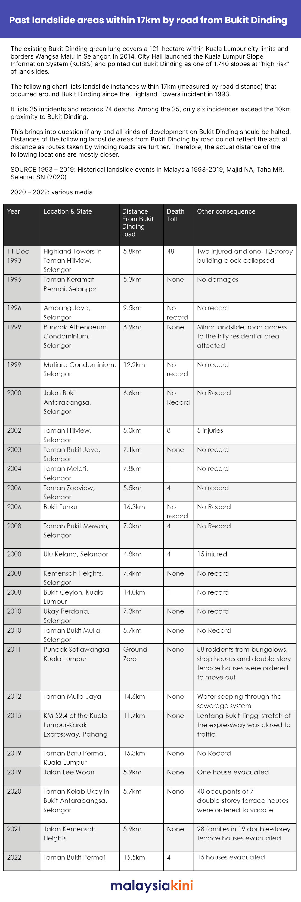
A 2020 research on landslide events in Malaysia titled “Historical landslide events in Malaysia 1993-2019” described the incident as catastrophic where 88 residents from bungalows, shop houses, and double-story terrace houses were ordered to move out.
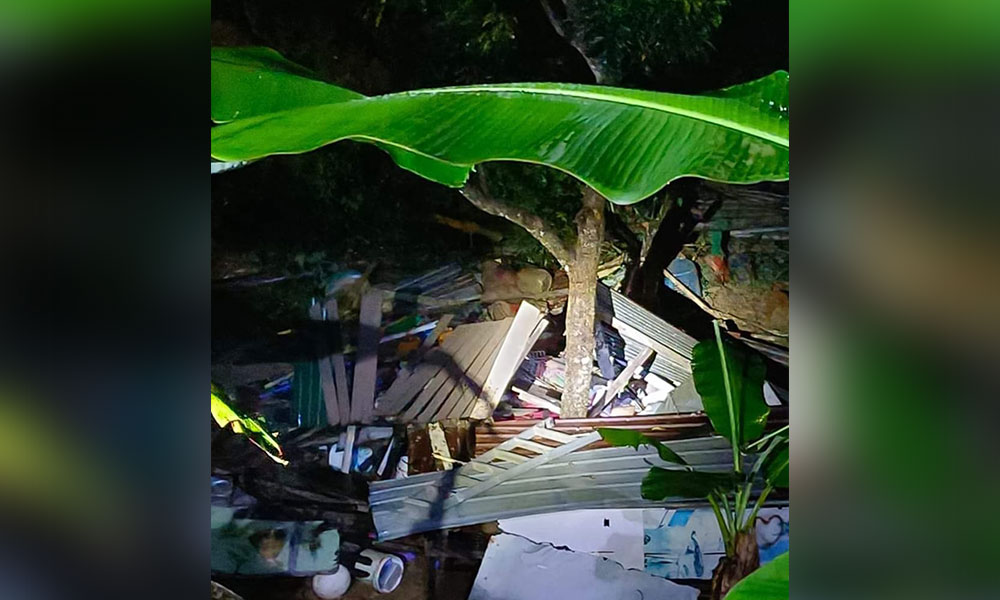
Zaliny said one house was destroyed but three other houses were badly affected by the landslide.
“Fortunately, there were no casualties,” he said.
It was learned that the 1993 Highland Tower tragedy that killed 48 when an entire condominium block crumbled to the ground took place 5.8km by road from Bukit Dinding.
Meanwhile, the two Bukit Antarabangsa landslides in 2000 and in 2020 are 6.6km and 5.7km from Bukit Dinding.
There have been 25 incidents 17km (measured by road distance) from Bukit Dinding, recording 74 deaths. Among the 25, only six incidents exceed the 10km proximity to Bukit Dinding.
Another resident from the Jalan Bukit Setiawangsa 1-6 Residents' Association, who wishes not to be named, said four residents’ associations in the area formed a special task force after the 2021 landslides.
The resident, a businessperson who has been living in the neighbourhood since 1995 with his wife and two children, said that the meeting held in 2021 was the first time DBKL held a dialogue with residents.
“Only after that meeting, the DBKL Slopes Department spent a considerable amount of money to rectify the five landslide spots,” he explained.
Residents left in the dark of new approval
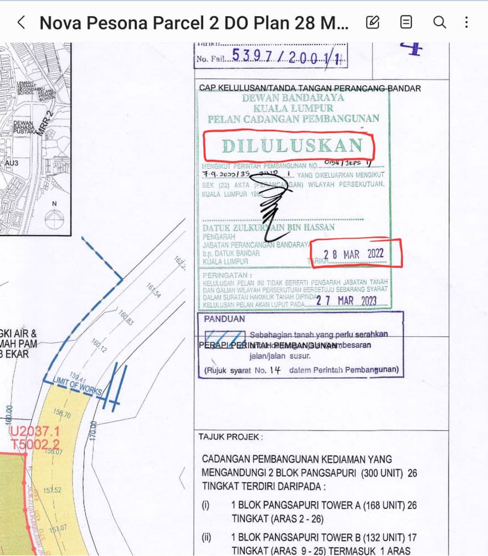
According to planning approval sighted by Malaysiakini (see approved plan) the proposed development plan for the 300 condominium units was submitted on Sept 27 last year and approved by Town Development Department director Zulkurnain Hassan on March 28 this year.
However, Zaliny said the developer relented to a meeting on Sept 15 only after residents started writing into DBKL.
“Not only were we kept in the dark about the approval, but Nova Pesona also refused to share any other plans apart from the small area they intend to start the development on.
“The plans for the rest of the hill, we found out when we sourced the EIA report ourselves.
“We have registered our outright objections because the EIA report is outdated and newer incidents of landslides on Bukit Dinding may not have been taken into consideration,” he stressed.
Sudirman Kamal, a civil engineer by profession who has been living in Bukit Setiawangsa for more than 20 years with his wife and three children pointed out that Bukit Dinding had not been maintained.
“The hill has a history of landslides and the planning approval must take into consideration our safety and our ability to live there peacefully during construction for the next 25 years.
“We want the developer or DBKL to share with us technical reports like the latest slope study.
“They showed us the condominium units they planned for the 2.4ha area but refused to tell us what they have planned for the 52ha area,” said Sudirman, adding that residents needed to be aware of the whole development because it affects the density of the area.
Sudirman, who represents the Jalan Bukit Setiawangsa 1-6 Residents' Association, is also worried that the approval given this year, was based on an EIA report that was completed in 2014 and submitted as part of a project planning proposal in 2017.
‘Iffy’ EIA report
Mustafa Kamal Abdul Aziz, an honorary professor with the University of Nottingham in the study of chemical engineering and a resident in Bukit Setiawangsa since 1995, claimed that the approval could have been based on an EIA report that was “iffy”.
Based on the chronology of the EIA report filed by Nova Pesona’s consultant Enrico Sdn Bhd, Mustafa said the construction suitability EIA report was completed in 2014.
“So, most of the data in the EIA is outdated and incomplete because there was no slope study, no lessons learned from past incidents, and not even a disaster readiness plan.
“On principle, in a vulnerable area like this, there should be no development.
“The hill had been compromised since 2010,” he declared.
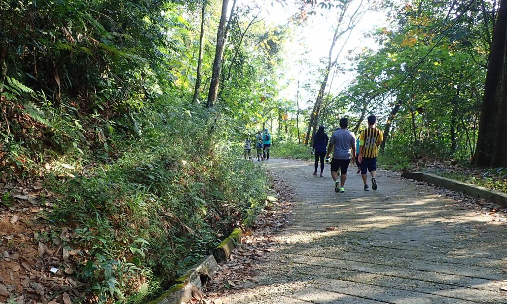
The 121ha area hill area is also an attraction to 500 residents who throng there every weekend for recreational activities.
It stands at 290m above sea level and Mustafa explained that the depth from the surface soil to the rocky part of the hill was 100m.
“This means, any kind of piling for any construction needs to be at least 100m deep,” he pointed out.
Department of Environment fled from Malaysiakini
Officers from the Department of Environment who were in the Bukit Setiawangsa vicinity during Malaysiakini's site visit left the scene immediately when approached, ignoring queries on the purpose of their visit.
It was learned that the site they were seen inspecting was being proposed as an alternative route for construction vehicles to and from Bukit Dinding and into Wangsa Maju.
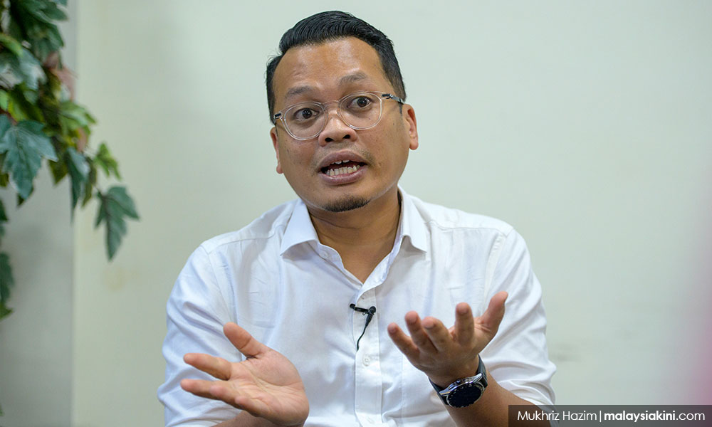
Nik Nazmi, who could not be reached for comments but in a statement on his Facebook page on Sept 11 described that the developer, Nova Pesona, was established in 2003 and was owned by Tan & Tan Development and the property owner Ladang Hawthornden’s Landmarks Land and Properties Sdn Bhd.
He explained that although DBKL issued permission for the Master Plan in 2004, the amended master plan was approved in 2015.
He said he had repeatedly tried to ensure that the interests of the community in Bukit Dinding were protected in any proposed development.
“But the first parcel of the proposed development is located around Puncak Setiawangsa and Wangsa Maju, which are areas that have experienced repeated landslides over the years.
“We urge the authorities and the developer to share technical reports with residents and other stakeholders,” he said in his statement.